Ballingdon Street Sudbury
Introduction
The photograph on this page of Ballingdon Street Sudbury by John Firth as part of the Geograph project.
The Geograph project started in 2005 with the aim of publishing, organising and preserving representative images for every square kilometre of Great Britain, Ireland and the Isle of Man.

There are currently over 7.5m images from over 14,400 individuals and you can help contribute to the project by visiting https://www.geograph.org.uk
Ballingdon Street Sudbury
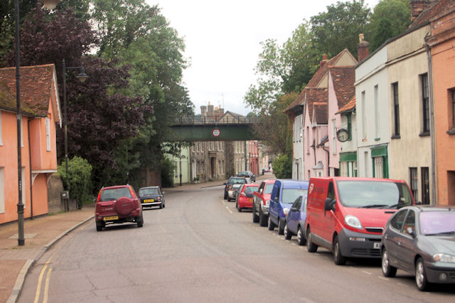
Image: © John Firth Taken: 14 Sep 2010
The bridge once carried the railway line northwards from Sudbury towards Long Melford but now closed
Images are licensed for reuse under creativecommons.org/licenses/by-sa/2.0
Image Location


Leaflet Map data © OpenStreetMap
Latitude
52.034373
Longitude
0.719391