The view from the far end of John Fielding Gardens, Llantarnam
Introduction
The photograph on this page of The view from the far end of John Fielding Gardens, Llantarnam by Jaggery as part of the Geograph project.
The Geograph project started in 2005 with the aim of publishing, organising and preserving representative images for every square kilometre of Great Britain, Ireland and the Isle of Man.

There are currently over 7.5m images from over 14,400 individuals and you can help contribute to the project by visiting https://www.geograph.org.uk
The view from the far end of John Fielding Gardens, Llantarnam
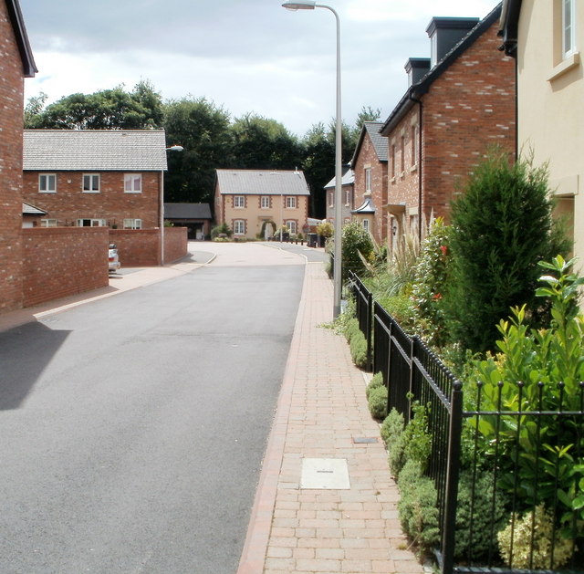
Image: © Jaggery Taken: 7 Aug 2010
The course of the cul-de-sac John Fielding Gardens is an inverted L shape from Newport Road. This view is from the far end, looking towards the corner http://www.geograph.org.uk/photo/2074239 (the angle of the L).
Images are licensed for reuse under creativecommons.org/licenses/by-sa/2.0
Image Location
Latitude
51.633298
Longitude
-3.005568