Lady Land
Introduction
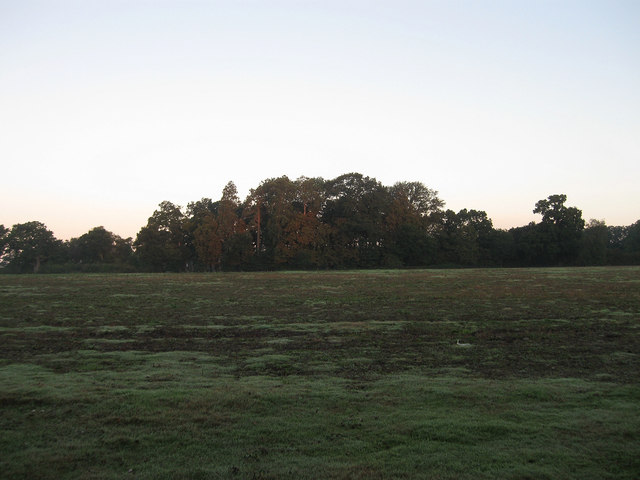
The photograph on this page of Lady Land by Simon Carey as part of the Geograph project.
The Geograph project started in 2005 with the aim of publishing, organising and preserving representative images for every square kilometre of Great Britain, Ireland and the Isle of Man.
There are currently over 7.5m images from over 14,400 individuals and you can help contribute to the project by visiting https://www.geograph.org.uk

Image: © Simon Carey Taken: 18 Sep 2010
The name of the field according to the 1840 tithe map. The name derives the Virgin Mary and is either land wholly dedicated to her or land where the rent was due to fall on Lady Day, the feast of the annunciation, which fell on 25 March, and was the original New Years Day and the traditional time for farmers to take possession of new farms and fields. Taken a few minutes after sunrise with the trees on the far side just beginning to reflect the orange glow of the early morning sun.

