Brandon to Bishop Auckland Walk at Brandon
Introduction
The photograph on this page of Brandon to Bishop Auckland Walk at Brandon by Trevor Littlewood as part of the Geograph project.
The Geograph project started in 2005 with the aim of publishing, organising and preserving representative images for every square kilometre of Great Britain, Ireland and the Isle of Man.

There are currently over 7.5m images from over 14,400 individuals and you can help contribute to the project by visiting https://www.geograph.org.uk
Brandon to Bishop Auckland Walk at Brandon
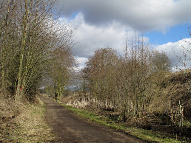
Image: © Trevor Littlewood Taken: 13 Mar 2010
The Brandon to Bishop Auckland Walk follows the route of an old railway; here it passes on the S. side of the village of Brandon. The view is NE. towards Sawmill Lane from a shallow cutting which is now quite marshy beside the surface of the path.
Images are licensed for reuse under creativecommons.org/licenses/by-sa/2.0
Image Location
Latitude
54.748183
Longitude
-1.630233