Railway East of Sandling Station
Introduction
The photograph on this page of Railway East of Sandling Station by Chris Heaton as part of the Geograph project.
The Geograph project started in 2005 with the aim of publishing, organising and preserving representative images for every square kilometre of Great Britain, Ireland and the Isle of Man.

There are currently over 7.5m images from over 14,400 individuals and you can help contribute to the project by visiting https://www.geograph.org.uk
Railway East of Sandling Station
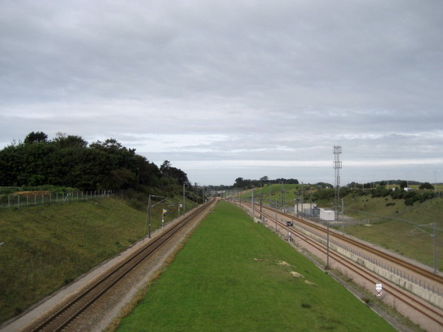
Image: © Chris Heaton Taken: 13 Sep 2010
The lines include the local ones from Dover and Folkestone, plus the international communications from the Channel Tunnel.
Images are licensed for reuse under creativecommons.org/licenses/by-sa/2.0
Image Location
Latitude
51.090848
Longitude
1.078272