Fields by the lane to Normanton on Trent
Introduction
The photograph on this page of Fields by the lane to Normanton on Trent by Andrew Hill as part of the Geograph project.
The Geograph project started in 2005 with the aim of publishing, organising and preserving representative images for every square kilometre of Great Britain, Ireland and the Isle of Man.

There are currently over 7.5m images from over 14,400 individuals and you can help contribute to the project by visiting https://www.geograph.org.uk
Fields by the lane to Normanton on Trent
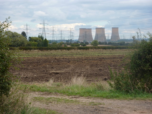
Image: © Andrew Hill Taken: 18 Sep 2010
View across the flat lands towards the Trent and the power station at High Marnham.
Images are licensed for reuse under creativecommons.org/licenses/by-sa/2.0
Image Location
Latitude
53.213675
Longitude
-0.831333