Exmouth Place, Chepstow
Introduction
The photograph on this page of Exmouth Place, Chepstow by Jaggery as part of the Geograph project.
The Geograph project started in 2005 with the aim of publishing, organising and preserving representative images for every square kilometre of Great Britain, Ireland and the Isle of Man.

There are currently over 7.5m images from over 14,400 individuals and you can help contribute to the project by visiting https://www.geograph.org.uk
Exmouth Place, Chepstow
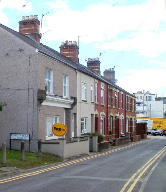
Image: © Jaggery Taken: 17 Sep 2010
A row of 7 houses, located between the bottom of School Hill and the A48 (here named Mount Pleasant Road). The far end of Exmouth Place, formerly connecting with the A48, is blocked off, creating a small area used as a car park. A parked car can be seen in front of a yellow lorry.
Images are licensed for reuse under creativecommons.org/licenses/by-sa/2.0
Image Location
Latitude
51.64106
Longitude
-2.674808