Mountsfield Park
Introduction
The photograph on this page of Mountsfield Park by Marathon as part of the Geograph project.
The Geograph project started in 2005 with the aim of publishing, organising and preserving representative images for every square kilometre of Great Britain, Ireland and the Isle of Man.

There are currently over 7.5m images from over 14,400 individuals and you can help contribute to the project by visiting https://www.geograph.org.uk
Mountsfield Park
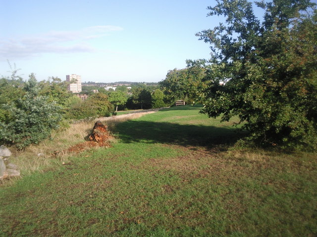
Image: © Marathon Taken: 24 Aug 2010
A fairly steep slope runs north south through the centre of Mountsfield Park. The west side of the park is lower than the east. Shrubs and trees lie along much of the slope as seen to the left of the rotting log. The wooded hill on the horizon to the right of the tower block is Nunhead Cemetery.
Images are licensed for reuse under creativecommons.org/licenses/by-sa/2.0
Image Location
Latitude
51.446821
Longitude
-0.009662