Railway tunnel, Tutshill
Introduction
The photograph on this page of Railway tunnel, Tutshill by Jaggery as part of the Geograph project.
The Geograph project started in 2005 with the aim of publishing, organising and preserving representative images for every square kilometre of Great Britain, Ireland and the Isle of Man.

There are currently over 7.5m images from over 14,400 individuals and you can help contribute to the project by visiting https://www.geograph.org.uk
Railway tunnel, Tutshill
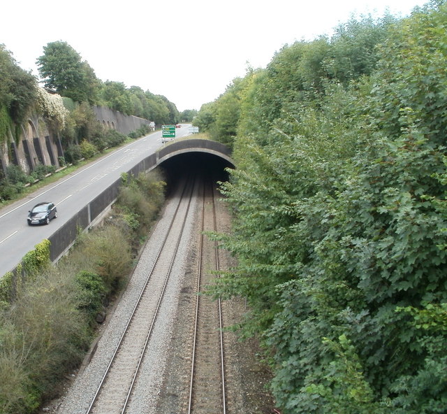
Image: © Jaggery Taken: 8 Sep 2010
Viewed from Beachley Road bridge. A short distance NE of the English bank of the River Wye, the railway lines heading for Lydney enter a 350 metre long tunnel. Just beyond the far side of the tunnel is the former Wye Valley Junction. http://www.geograph.org.uk/photo/542098
Images are licensed for reuse under creativecommons.org/licenses/by-sa/2.0
Image Location
Latitude
51.644714
Longitude
-2.664746