Footpath between the Church and the Pub
Introduction
The photograph on this page of Footpath between the Church and the Pub by David Anstiss as part of the Geograph project.
The Geograph project started in 2005 with the aim of publishing, organising and preserving representative images for every square kilometre of Great Britain, Ireland and the Isle of Man.

There are currently over 7.5m images from over 14,400 individuals and you can help contribute to the project by visiting https://www.geograph.org.uk
Footpath between the Church and the Pub
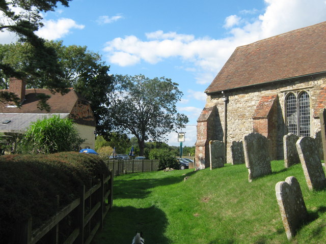
Image: © David Anstiss Taken: 12 Sep 2010
A footpath leads from Boarman's Lane, past St. Augustines Church (on the right) and The Royal Oak Public House (on the left) towards Brookland High Street.
Images are licensed for reuse under creativecommons.org/licenses/by-sa/2.0
Image Location
Latitude
50.99738
Longitude
0.833611