Footbridge near St. Augustine's Church
Introduction
The photograph on this page of Footbridge near St. Augustine's Church by David Anstiss as part of the Geograph project.
The Geograph project started in 2005 with the aim of publishing, organising and preserving representative images for every square kilometre of Great Britain, Ireland and the Isle of Man.

There are currently over 7.5m images from over 14,400 individuals and you can help contribute to the project by visiting https://www.geograph.org.uk
Footbridge near St. Augustine's Church
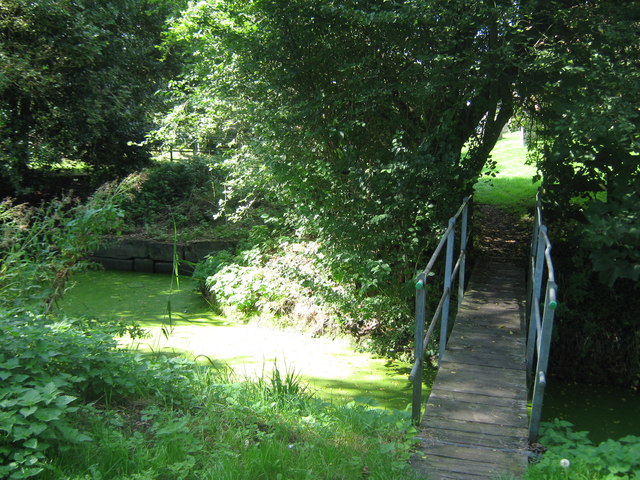
Image: © David Anstiss Taken: 12 Sep 2010
This bridge is on a footpath from Boarman's Lane towards Brookland High Street. It crosses over Baldwin Sewer, flowing through the town.
Images are licensed for reuse under creativecommons.org/licenses/by-sa/2.0
Image Location
Latitude
50.996917
Longitude
0.834153