Kirkton Farm
Introduction
The photograph on this page of Kirkton Farm by Anne Burgess as part of the Geograph project.
The Geograph project started in 2005 with the aim of publishing, organising and preserving representative images for every square kilometre of Great Britain, Ireland and the Isle of Man.

There are currently over 7.5m images from over 14,400 individuals and you can help contribute to the project by visiting https://www.geograph.org.uk
Kirkton Farm
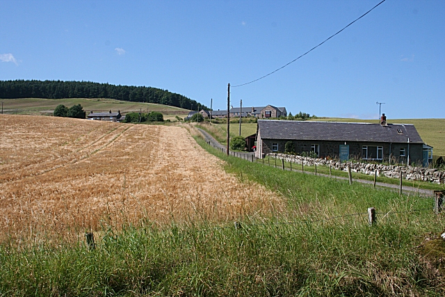
Image: © Anne Burgess Taken: 15 Aug 2010
The farm of Kirkton of Abernyte anjoys a fine situation on the south-east slope of Kirkton Hill. Just to emphasise the ecclesiastical connection, the wood is Kirktonhill Wood, the steepest part of the hill is Kirkton Craig and the nearest cottage is Kirkton Farm Cottage. The kirk itself is about 300 yards further down the road, behind the photographer.
Images are licensed for reuse under creativecommons.org/licenses/by-sa/2.0
Image Location
Latitude
56.470173
Longitude
-3.19137