NE edge of Tredomen
Introduction
The photograph on this page of NE edge of Tredomen by Jaggery as part of the Geograph project.
The Geograph project started in 2005 with the aim of publishing, organising and preserving representative images for every square kilometre of Great Britain, Ireland and the Isle of Man.

There are currently over 7.5m images from over 14,400 individuals and you can help contribute to the project by visiting https://www.geograph.org.uk
NE edge of Tredomen
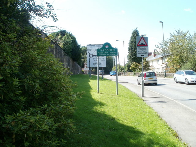
Image: © Jaggery Taken: 27 Aug 2010
Nelson Road (A472) reaches Tredomen. Ahead is Tredomen Park and Caerphilly County Borough Council's new headquarters building, Penallta House. http://www.geograph.org.uk/photo/2065000
Images are licensed for reuse under creativecommons.org/licenses/by-sa/2.0
Image Location
Latitude
51.6427
Longitude
-3.244234