Upper part of Derwen Close, Ystrad Mynach
Introduction
The photograph on this page of Upper part of Derwen Close, Ystrad Mynach by Jaggery as part of the Geograph project.
The Geograph project started in 2005 with the aim of publishing, organising and preserving representative images for every square kilometre of Great Britain, Ireland and the Isle of Man.

There are currently over 7.5m images from over 14,400 individuals and you can help contribute to the project by visiting https://www.geograph.org.uk
Upper part of Derwen Close, Ystrad Mynach
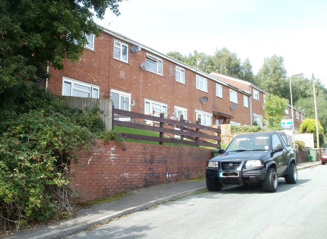
Image: © Jaggery Taken: 27 Aug 2010
At the top end of the close, a track http://www.geograph.org.uk/photo/2064396 leads into Coed-y-Twyn woods. The lower end of the close http://www.geograph.org.uk/photo/2064387 connects with Brynmynach Avenue. http://www.geograph.org.uk/photo/2064376
Images are licensed for reuse under creativecommons.org/licenses/by-sa/2.0
Image Location
Latitude
51.639988
Longitude
-3.245605