Margate Library
Introduction
The photograph on this page of Margate Library by David Anstiss as part of the Geograph project.
The Geograph project started in 2005 with the aim of publishing, organising and preserving representative images for every square kilometre of Great Britain, Ireland and the Isle of Man.

There are currently over 7.5m images from over 14,400 individuals and you can help contribute to the project by visiting https://www.geograph.org.uk
Margate Library
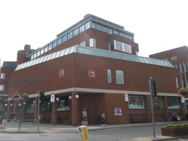
Image: © David Anstiss Taken: 11 Sep 2010
Large library and information point below the offices of Thanet Council. At the crossroads junction of Queen Street (on the right) and Cecil Street (on the left).
Images are licensed for reuse under creativecommons.org/licenses/by-sa/2.0
Image Location
Latitude
51.387162
Longitude
1.380469