St Mary's Shoeburyness
Introduction
The photograph on this page of St Mary's Shoeburyness by william as part of the Geograph project.
The Geograph project started in 2005 with the aim of publishing, organising and preserving representative images for every square kilometre of Great Britain, Ireland and the Isle of Man.

There are currently over 7.5m images from over 14,400 individuals and you can help contribute to the project by visiting https://www.geograph.org.uk
St Mary's Shoeburyness
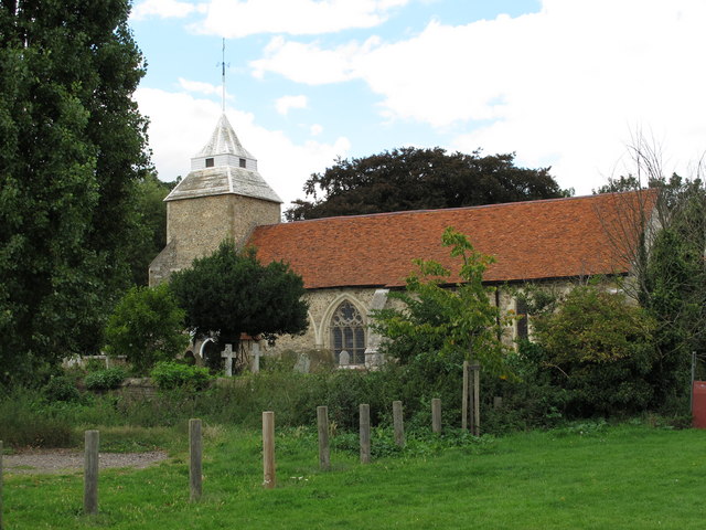
Image: © william Taken: 12 Sep 2010
It's a shame they built the church next to a huge Asda supermarket. What were these medieval planners thinking of?
Images are licensed for reuse under creativecommons.org/licenses/by-sa/2.0
Image Location
Latitude
51.541172
Longitude
0.780884