Stoneleigh
Introduction
The photograph on this page of Stoneleigh by Nigel Mykura as part of the Geograph project.
The Geograph project started in 2005 with the aim of publishing, organising and preserving representative images for every square kilometre of Great Britain, Ireland and the Isle of Man.

There are currently over 7.5m images from over 14,400 individuals and you can help contribute to the project by visiting https://www.geograph.org.uk
Stoneleigh
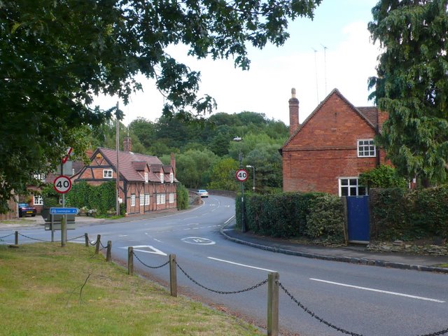
Image: © Nigel Mykura Taken: 18 Aug 2010
This is the centre of the village looking from the green at the crossroads towards the bridge over the River Avon
Images are licensed for reuse under creativecommons.org/licenses/by-sa/2.0
Image Location
Latitude
52.351642
Longitude
-1.515027