Thornby Cottage, 67 Windy Arbour, Kenilworth
Introduction
The photograph on this page of Thornby Cottage, 67 Windy Arbour, Kenilworth by John Brightley as part of the Geograph project.
The Geograph project started in 2005 with the aim of publishing, organising and preserving representative images for every square kilometre of Great Britain, Ireland and the Isle of Man.

There are currently over 7.5m images from over 14,400 individuals and you can help contribute to the project by visiting https://www.geograph.org.uk
Thornby Cottage, 67 Windy Arbour, Kenilworth
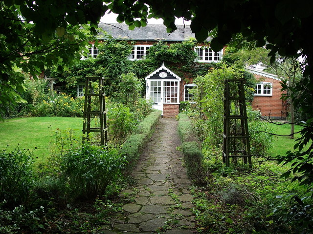
Image: © John Brightley Taken: 30 Aug 2010
A cottage which is older than all the houses around it - at the junction of Brooke Avenue. It is shown on the 1888 Ordnance Survey map and seems to be in the grounds of Thornby House, which was located about 100 yards further south, between here and the present day Thornby Avenue.
Images are licensed for reuse under creativecommons.org/licenses/by-sa/2.0
Image Location
Latitude
52.342031
Longitude
-1.563277