Lower Crescent, Comber
Introduction
The photograph on this page of Lower Crescent, Comber by Albert Bridge as part of the Geograph project.
The Geograph project started in 2005 with the aim of publishing, organising and preserving representative images for every square kilometre of Great Britain, Ireland and the Isle of Man.

There are currently over 7.5m images from over 14,400 individuals and you can help contribute to the project by visiting https://www.geograph.org.uk
Lower Crescent, Comber
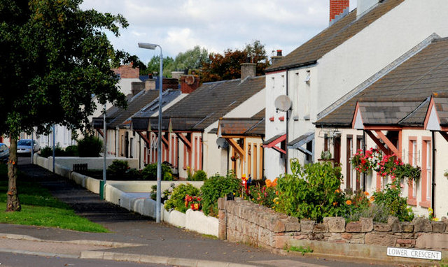
Image: © Albert Bridge Taken: 11 Sep 2010
A street to the north of Bridge Street and the Newtownards Road. Sheltered from both by a line of trees (left).
Images are licensed for reuse under creativecommons.org/licenses/by-sa/2.0
Image Location
Latitude
54.552455
Longitude
-5.737731