Country road near Graffham (3)
Introduction
The photograph on this page of Country road near Graffham (3) by Stephen Richards as part of the Geograph project.
The Geograph project started in 2005 with the aim of publishing, organising and preserving representative images for every square kilometre of Great Britain, Ireland and the Isle of Man.

There are currently over 7.5m images from over 14,400 individuals and you can help contribute to the project by visiting https://www.geograph.org.uk
Country road near Graffham (3)
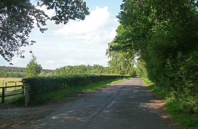
Image: © Stephen Richards Taken: Unknown
Looking north-east in the direction of Petworth (though this road doesn't directly go there). Woodland at Graffham Common is just visible on the far left.
Images are licensed for reuse under creativecommons.org/licenses/by-sa/2.0
Image Location
Latitude
50.95725
Longitude
-0.668131