Burray Village and Churchill Barrier 4
Introduction
The photograph on this page of Burray Village and Churchill Barrier 4 by s allison as part of the Geograph project.
The Geograph project started in 2005 with the aim of publishing, organising and preserving representative images for every square kilometre of Great Britain, Ireland and the Isle of Man.

There are currently over 7.5m images from over 14,400 individuals and you can help contribute to the project by visiting https://www.geograph.org.uk
Burray Village and Churchill Barrier 4
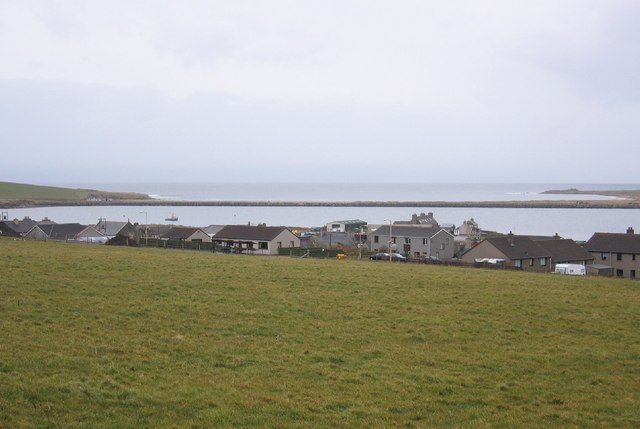
Image: © s allison Taken: 11 Apr 2006
The small village of Burray close to the 4th Churchill Barrier that connects the island of Burray to South Ronaldsay
Images are licensed for reuse under creativecommons.org/licenses/by-sa/2.0
Image Location


Leaflet Map data © OpenStreetMap
Latitude
58.84637
Longitude
-2.918402