A449 at Burnt House bridge
Introduction
The photograph on this page of A449 at Burnt House bridge by J Whatley as part of the Geograph project.
The Geograph project started in 2005 with the aim of publishing, organising and preserving representative images for every square kilometre of Great Britain, Ireland and the Isle of Man.

There are currently over 7.5m images from over 14,400 individuals and you can help contribute to the project by visiting https://www.geograph.org.uk
A449 at Burnt House bridge
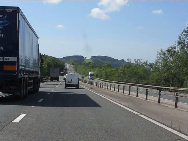
Image: © J Whatley Taken: 31 Aug 2010
Note the parapet on the right showing where a minor road is bridged on a skew span.
Images are licensed for reuse under creativecommons.org/licenses/by-sa/2.0
Image Location
Latitude
51.63251
Longitude
-2.891697