Field beside Mollandhu Farm
Introduction
The photograph on this page of Field beside Mollandhu Farm by Lairich Rig as part of the Geograph project.
The Geograph project started in 2005 with the aim of publishing, organising and preserving representative images for every square kilometre of Great Britain, Ireland and the Isle of Man.

There are currently over 7.5m images from over 14,400 individuals and you can help contribute to the project by visiting https://www.geograph.org.uk
Field beside Mollandhu Farm
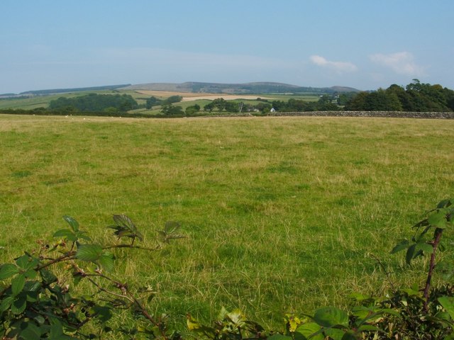
Image: © Lairich Rig Taken: 3 Sep 2010
The photograph was taken from the pavement beside Cardross Road. The skyline shows Carman Hill (Image) on the right, with its neighbouring moors extending to the left, as far the tree-covered Darleith Muir (Image).
Images are licensed for reuse under creativecommons.org/licenses/by-sa/2.0
Image Location
Latitude
55.969321
Longitude
-4.667629