The North Downs Way crosses Higham Park access road
Introduction
The photograph on this page of The North Downs Way crosses Higham Park access road by David Anstiss as part of the Geograph project.
The Geograph project started in 2005 with the aim of publishing, organising and preserving representative images for every square kilometre of Great Britain, Ireland and the Isle of Man.

There are currently over 7.5m images from over 14,400 individuals and you can help contribute to the project by visiting https://www.geograph.org.uk
The North Downs Way crosses Higham Park access road
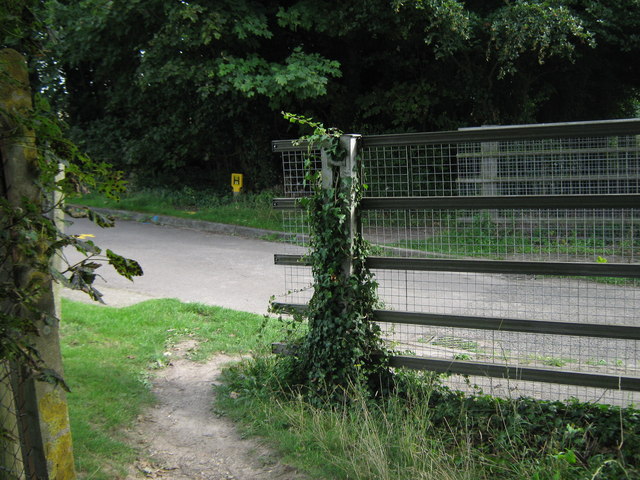
Image: © David Anstiss Taken: 5 Sep 2010
The long distance path from Patrixbourne leads across the road and onto a bridleway heading towards Coldharbour Lane. The access road leads left, towards the Historic House and Garden, or right Image over the A2 dual carriageway leading to Bridge.
Images are licensed for reuse under creativecommons.org/licenses/by-sa/2.0
Image Location


Leaflet Map data © OpenStreetMap
Latitude
51.239651
Longitude
1.138067