Merrill Street
Introduction
The photograph on this page of Merrill Street by Gerald England as part of the Geograph project.
The Geograph project started in 2005 with the aim of publishing, organising and preserving representative images for every square kilometre of Great Britain, Ireland and the Isle of Man.

There are currently over 7.5m images from over 14,400 individuals and you can help contribute to the project by visiting https://www.geograph.org.uk
Merrill Street
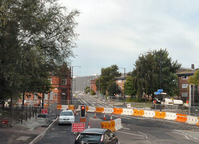
Image: © Gerald England Taken: 6 Sep 2010
Taken from the top deck of a bus. Ahead is Merril Street Image which is the A662 to Ancoats. The road has been closed for the laying of the Metrolink tramlines to Droylsden and Ashton under Lyne. All traffic is now diverted along Every Street.
Images are licensed for reuse under creativecommons.org/licenses/by-sa/2.0
Image Location
Latitude
53.482489
Longitude
-2.213488