Path to Pennine Way
Introduction
The photograph on this page of Path to Pennine Way by Jonathan Kington as part of the Geograph project.
The Geograph project started in 2005 with the aim of publishing, organising and preserving representative images for every square kilometre of Great Britain, Ireland and the Isle of Man.

There are currently over 7.5m images from over 14,400 individuals and you can help contribute to the project by visiting https://www.geograph.org.uk
Path to Pennine Way
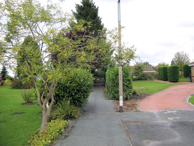
Image: © Jonathan Kington Taken: 8 Sep 2010
Looking along the path from Checkley Drive to Pennine Way, emerging opposite Ox-hey Drive. For an opposite view see Image
Images are licensed for reuse under creativecommons.org/licenses/by-sa/2.0
Image Location
Latitude
53.121218
Longitude
-2.166118