The top end of Prestatyn High Street
Introduction
The photograph on this page of The top end of Prestatyn High Street by Jeremy Bolwell as part of the Geograph project.
The Geograph project started in 2005 with the aim of publishing, organising and preserving representative images for every square kilometre of Great Britain, Ireland and the Isle of Man.

There are currently over 7.5m images from over 14,400 individuals and you can help contribute to the project by visiting https://www.geograph.org.uk
The top end of Prestatyn High Street
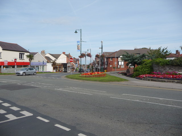
Image: © Jeremy Bolwell Taken: 27 Aug 2010
Offa's Dyke Path waymarkers lead walkers from the coast, inland and southwards, gradually uphill through Prestatyn's busy high street shops. Locals are very generous in offering walkers encouragement and advice. One chap with his small kids recommended a pub to me in Bodfari that proved to be a great tip. Thanks to him.
Images are licensed for reuse under creativecommons.org/licenses/by-sa/2.0
Image Location
Latitude
53.331987
Longitude
-3.400676