Hayes Bypass Channel
Introduction
The photograph on this page of Hayes Bypass Channel by Nigel Cox as part of the Geograph project.
The Geograph project started in 2005 with the aim of publishing, organising and preserving representative images for every square kilometre of Great Britain, Ireland and the Isle of Man.

There are currently over 7.5m images from over 14,400 individuals and you can help contribute to the project by visiting https://www.geograph.org.uk
Hayes Bypass Channel
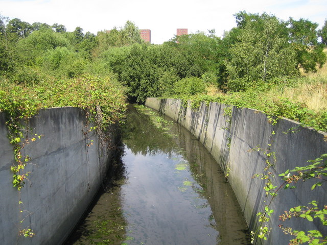
Image: © Nigel Cox Taken: 16 Jul 2006
This concrete conduit is an artificial flood relief channel that takes off from Yeading Brook at TQ 113 815 and rejoins it at TQ 106 794, running between Hayes to the west and Southall to the east.
Images are licensed for reuse under creativecommons.org/licenses/by-sa/2.0
Image Location
Latitude
51.505381
Longitude
-0.404956