Wolverhampton Ring Road - approaching Stafford Street junction
Introduction
The photograph on this page of Wolverhampton Ring Road - approaching Stafford Street junction by J Whatley as part of the Geograph project.
The Geograph project started in 2005 with the aim of publishing, organising and preserving representative images for every square kilometre of Great Britain, Ireland and the Isle of Man.

There are currently over 7.5m images from over 14,400 individuals and you can help contribute to the project by visiting https://www.geograph.org.uk
Wolverhampton Ring Road - approaching Stafford Street junction
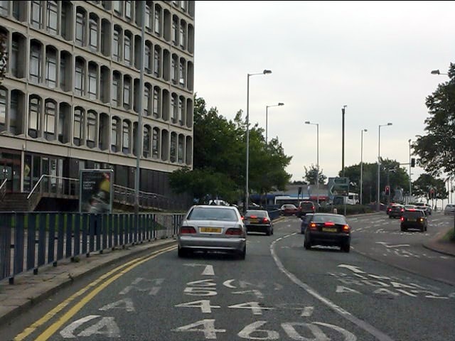
Image: © J Whatley Taken: 6 Sep 2010
Left hand lane for all points north! The A460 peels off at another junction within a few hundred yards of leaving the ring road.
Images are licensed for reuse under creativecommons.org/licenses/by-sa/2.0
Image Location
Latitude
52.589273
Longitude
-2.127637