A grassy area amid the housing developments
Introduction
The photograph on this page of A grassy area amid the housing developments by Bill Boaden as part of the Geograph project.
The Geograph project started in 2005 with the aim of publishing, organising and preserving representative images for every square kilometre of Great Britain, Ireland and the Isle of Man.

There are currently over 7.5m images from over 14,400 individuals and you can help contribute to the project by visiting https://www.geograph.org.uk
A grassy area amid the housing developments
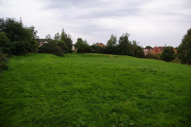
Image: © Bill Boaden Taken: 6 Sep 2010
There has been a lot of new house building in this area, but generally on small estates around the older houses. This field has probably been left as an amenity area.
Images are licensed for reuse under creativecommons.org/licenses/by-sa/2.0
Image Location
Latitude
53.596033
Longitude
-2.137759