Path from Palmerston Way
Introduction
The photograph on this page of Path from Palmerston Way by Jonathan Kington as part of the Geograph project.
The Geograph project started in 2005 with the aim of publishing, organising and preserving representative images for every square kilometre of Great Britain, Ireland and the Isle of Man.

There are currently over 7.5m images from over 14,400 individuals and you can help contribute to the project by visiting https://www.geograph.org.uk
Path from Palmerston Way
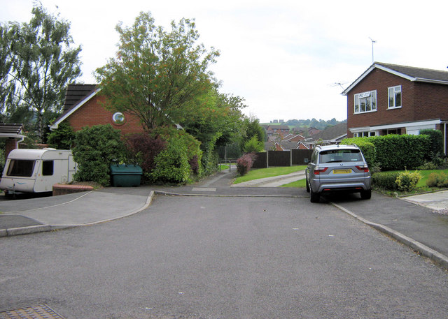
Image: © Jonathan Kington Taken: 5 Sep 2010
This short path links the top end of Palmerston Way with Humber Drive. (See also Image)
Images are licensed for reuse under creativecommons.org/licenses/by-sa/2.0
Image Location
Latitude
53.118658
Longitude
-2.16436