The Crown, Codsall Wood
Introduction
The photograph on this page of The Crown, Codsall Wood by Derek Harper as part of the Geograph project.
The Geograph project started in 2005 with the aim of publishing, organising and preserving representative images for every square kilometre of Great Britain, Ireland and the Isle of Man.

There are currently over 7.5m images from over 14,400 individuals and you can help contribute to the project by visiting https://www.geograph.org.uk
The Crown, Codsall Wood
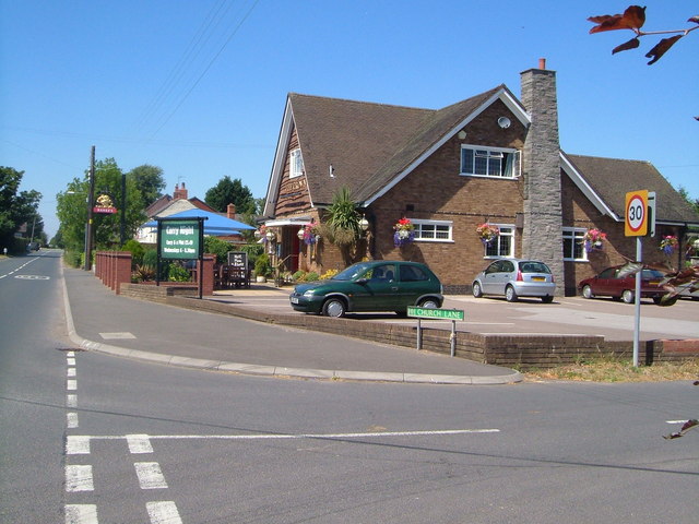
Image: © Derek Harper Taken: 18 Jul 2006
One of two pubs in the village of Codsall Wood. The road on the left forms part of the Monarch's Way.
Images are licensed for reuse under creativecommons.org/licenses/by-sa/2.0
Image Location
Latitude
52.642256
Longitude
-2.225625