Old Pit near Brookhill House
Introduction
The photograph on this page of Old Pit near Brookhill House by Simon Carey as part of the Geograph project.
The Geograph project started in 2005 with the aim of publishing, organising and preserving representative images for every square kilometre of Great Britain, Ireland and the Isle of Man.

There are currently over 7.5m images from over 14,400 individuals and you can help contribute to the project by visiting https://www.geograph.org.uk
Old Pit near Brookhill House
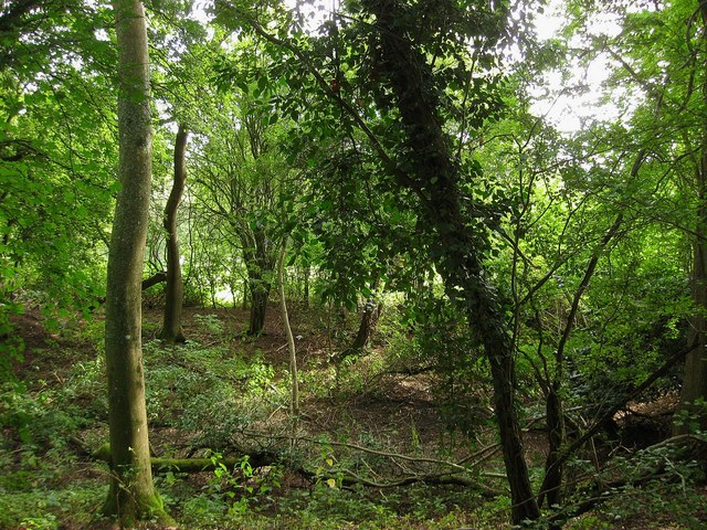
Image: © Simon Carey Taken: 4 Sep 2010
Marked on the 1875 OS map and likely to either be an old marlpit or a small quarry where a seem of Horsham stone was dug out. Being next to a footpath may well suggest the former as the medieval labourer would need constant access to the pit.
Images are licensed for reuse under creativecommons.org/licenses/by-sa/2.0
Image Location
Latitude
50.993008
Longitude
-0.267831