Snaith Hall, Pontefract Road
Introduction
The photograph on this page of Snaith Hall, Pontefract Road by Stanley Walker as part of the Geograph project.
The Geograph project started in 2005 with the aim of publishing, organising and preserving representative images for every square kilometre of Great Britain, Ireland and the Isle of Man.

There are currently over 7.5m images from over 14,400 individuals and you can help contribute to the project by visiting https://www.geograph.org.uk
Snaith Hall, Pontefract Road
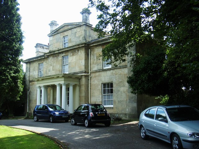
Image: © Stanley Walker Taken: 31 Aug 2010
Built in 1829 for William Shearburn a local solicitor and landowner, used now as a care home.
Images are licensed for reuse under creativecommons.org/licenses/by-sa/2.0
Image Location
Latitude
53.689981
Longitude
-1.030198