Graig Park Circle viewed across Malpas Road, Newport
Introduction
The photograph on this page of Graig Park Circle viewed across Malpas Road, Newport by Jaggery as part of the Geograph project.
The Geograph project started in 2005 with the aim of publishing, organising and preserving representative images for every square kilometre of Great Britain, Ireland and the Isle of Man.

There are currently over 7.5m images from over 14,400 individuals and you can help contribute to the project by visiting https://www.geograph.org.uk
Graig Park Circle viewed across Malpas Road, Newport
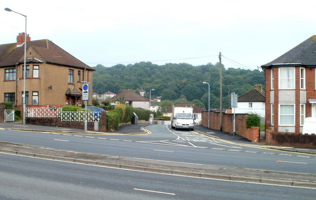
Image: © Jaggery Taken: 5 Sep 2010
Graig Park Circle heads east, between 312 and 310 Malpas Road. In the distance is the high ground of Graig Wood.
Images are licensed for reuse under creativecommons.org/licenses/by-sa/2.0
Image Location
Latitude
51.606303
Longitude
-3.00786