Moatfield Lane
Introduction
The photograph on this page of Moatfield Lane by Simon Carey as part of the Geograph project.
The Geograph project started in 2005 with the aim of publishing, organising and preserving representative images for every square kilometre of Great Britain, Ireland and the Isle of Man.

There are currently over 7.5m images from over 14,400 individuals and you can help contribute to the project by visiting https://www.geograph.org.uk
Moatfield Lane
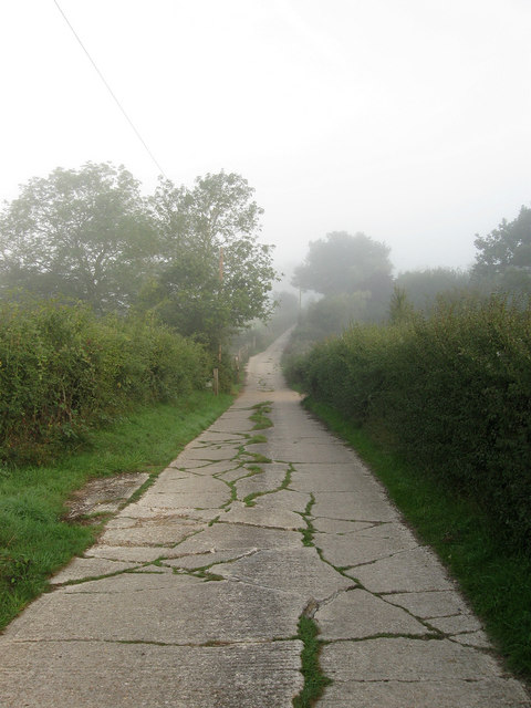
Image: © Simon Carey Taken: 4 Sep 2010
A private road that links a number of farms with Kent Street Lane. The route is also a public footpath becoming a bridleway near Lower Barn Farm.
Images are licensed for reuse under creativecommons.org/licenses/by-sa/2.0
Image Location
Latitude
50.978479
Longitude
-0.2584