Wood Grange, Henfield Road
Introduction
The photograph on this page of Wood Grange, Henfield Road by Simon Carey as part of the Geograph project.
The Geograph project started in 2005 with the aim of publishing, organising and preserving representative images for every square kilometre of Great Britain, Ireland and the Isle of Man.

There are currently over 7.5m images from over 14,400 individuals and you can help contribute to the project by visiting https://www.geograph.org.uk
Wood Grange, Henfield Road
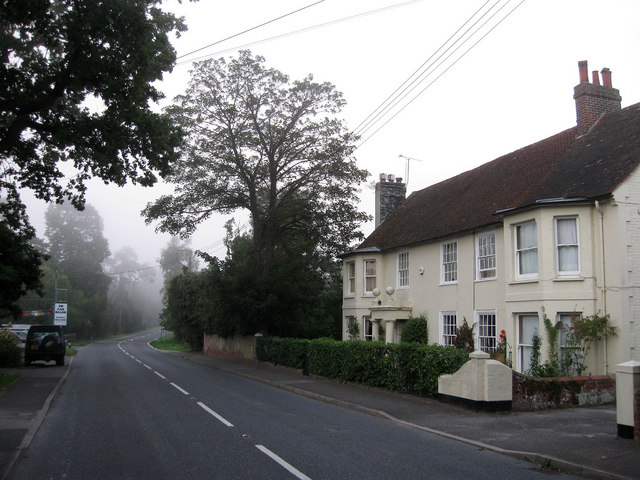
Image: © Simon Carey Taken: 4 Sep 2010
Built in the 18th century and for a long time known as Noah's Ark before picking up its current name during the 20th century. Bull's Bridge is located at the curve in the road and marks the southern point of the village.
Images are licensed for reuse under creativecommons.org/licenses/by-sa/2.0
Image Location
Latitude
50.985189
Longitude
-0.274249