The Hare and Hounds
Introduction
The photograph on this page of The Hare and Hounds by Simon Carey as part of the Geograph project.
The Geograph project started in 2005 with the aim of publishing, organising and preserving representative images for every square kilometre of Great Britain, Ireland and the Isle of Man.

There are currently over 7.5m images from over 14,400 individuals and you can help contribute to the project by visiting https://www.geograph.org.uk
The Hare and Hounds
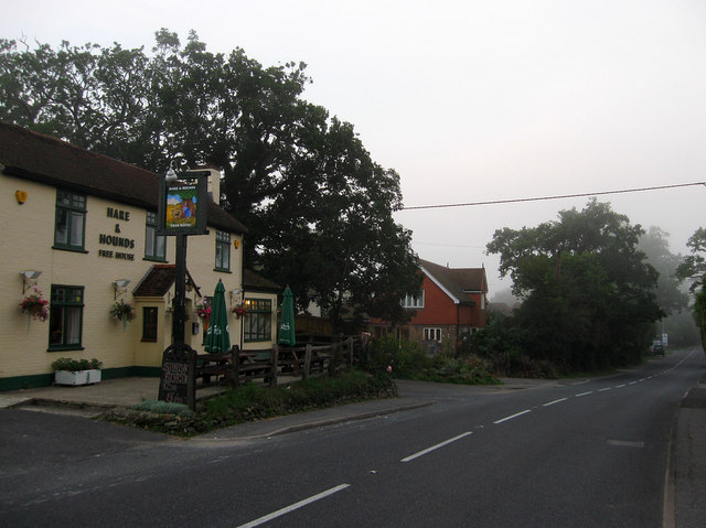
Image: © Simon Carey Taken: 4 Sep 2010
Located on the junction of Henfield Road and Eastlands Lane and one of two pubs in the village. It dates from the late 19th century having had a beer licence from 1851.
Images are licensed for reuse under creativecommons.org/licenses/by-sa/2.0
Image Location
Latitude
50.986251
Longitude
-0.27307