Henfield Road
Introduction
The photograph on this page of Henfield Road by Simon Carey as part of the Geograph project.
The Geograph project started in 2005 with the aim of publishing, organising and preserving representative images for every square kilometre of Great Britain, Ireland and the Isle of Man.

There are currently over 7.5m images from over 14,400 individuals and you can help contribute to the project by visiting https://www.geograph.org.uk
Henfield Road
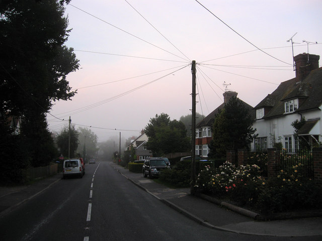
Image: © Simon Carey Taken: 4 Sep 2010
The A281 as it heads south in Cowfold. Much of the road was developed from the late 19th century onwards eventually joining the centre of the village with Bull's Bridge to the south. The building to the immediate right is White Houses whilst the early morning mist is getting thicker as the road heads south towards Cowfold Stream.
Images are licensed for reuse under creativecommons.org/licenses/by-sa/2.0
Image Location
Latitude
50.987593
Longitude
-0.272592