Stream at Uphill
Introduction
The photograph on this page of Stream at Uphill by Ruth Sharville as part of the Geograph project.
The Geograph project started in 2005 with the aim of publishing, organising and preserving representative images for every square kilometre of Great Britain, Ireland and the Isle of Man.

There are currently over 7.5m images from over 14,400 individuals and you can help contribute to the project by visiting https://www.geograph.org.uk
Stream at Uphill
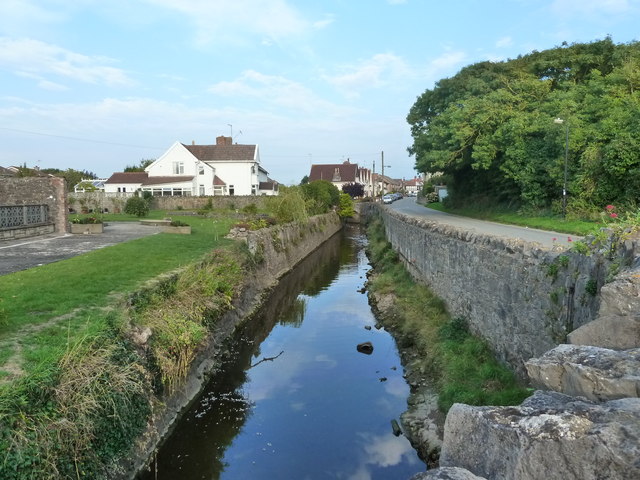
Image: © Ruth Sharville Taken: 4 Sep 2010
I could not find a name for the stream on the OS map - please enlighten me if you know.
Images are licensed for reuse under creativecommons.org/licenses/by-sa/2.0
Image Location
Latitude
51.321643
Longitude
-2.984242