Whitstable Road
Introduction
The photograph on this page of Whitstable Road by Oast House Archive as part of the Geograph project.
The Geograph project started in 2005 with the aim of publishing, organising and preserving representative images for every square kilometre of Great Britain, Ireland and the Isle of Man.

There are currently over 7.5m images from over 14,400 individuals and you can help contribute to the project by visiting https://www.geograph.org.uk
Whitstable Road
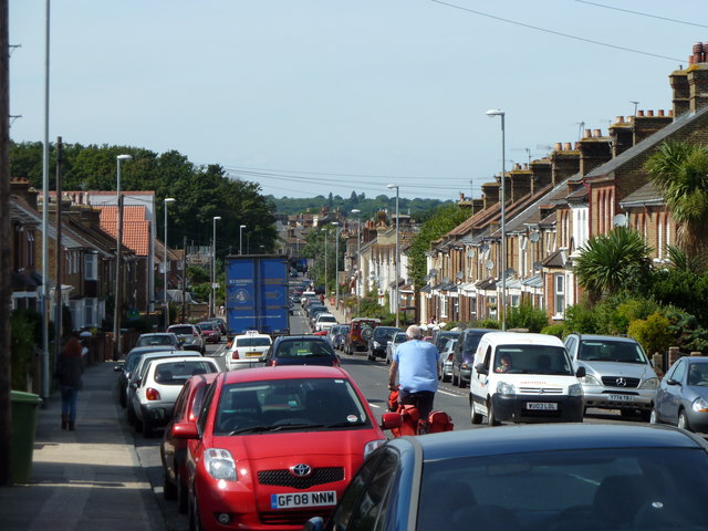
Image: © Oast House Archive Taken: 1 Sep 2010
Busy road of terraced housing leading into Faversham centre.
Images are licensed for reuse under creativecommons.org/licenses/by-sa/2.0
Image Location
Latitude
51.312903
Longitude
0.903247