Mercers Mead
Introduction
The photograph on this page of Mercers Mead by Simon Carey as part of the Geograph project.
The Geograph project started in 2005 with the aim of publishing, organising and preserving representative images for every square kilometre of Great Britain, Ireland and the Isle of Man.

There are currently over 7.5m images from over 14,400 individuals and you can help contribute to the project by visiting https://www.geograph.org.uk
Mercers Mead
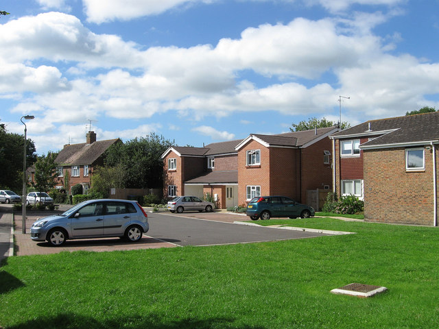
Image: © Simon Carey Taken: 30 Aug 2010
A small cul-de-sac off Oakfield Road originally built in the immediate postwar period and infilled during the 1980s. The close is named after a nearby field which is now part of the recreation ground.
Images are licensed for reuse under creativecommons.org/licenses/by-sa/2.0
Image Location
Latitude
50.988385
Longitude
-0.271423