Converted chapel at Gilbert's Coombe
Introduction
The photograph on this page of Converted chapel at Gilbert's Coombe by Rod Allday as part of the Geograph project.
The Geograph project started in 2005 with the aim of publishing, organising and preserving representative images for every square kilometre of Great Britain, Ireland and the Isle of Man.

There are currently over 7.5m images from over 14,400 individuals and you can help contribute to the project by visiting https://www.geograph.org.uk
Converted chapel at Gilbert's Coombe
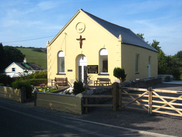
Image: © Rod Allday Taken: 3 Sep 2010
Dating from 1899 and now converted into a funeral director's premises and chapel of rest.
Images are licensed for reuse under creativecommons.org/licenses/by-sa/2.0
Image Location
Latitude
50.248931
Longitude
-5.241425