Two Waters Way
Introduction
The photograph on this page of Two Waters Way by Tom Presland as part of the Geograph project.
The Geograph project started in 2005 with the aim of publishing, organising and preserving representative images for every square kilometre of Great Britain, Ireland and the Isle of Man.

There are currently over 7.5m images from over 14,400 individuals and you can help contribute to the project by visiting https://www.geograph.org.uk
Two Waters Way
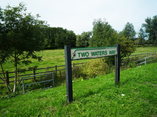
Image: © Tom Presland Taken: 2 Sep 2010
Something of a misnomer, as the Gade no longer joins the Bulbourne here. It flows into the grand Union Canal about 200 metres North of here Image This water meadow acts as a flood plain for the Bulbourne and one of the drainage channels under the main road can be seen to right of the road sign.
Images are licensed for reuse under creativecommons.org/licenses/by-sa/2.0
Image Location
Latitude
51.741281
Longitude
-0.475601