Davys Street, Carrickfergus
Introduction
The photograph on this page of Davys Street, Carrickfergus by Albert Bridge as part of the Geograph project.
The Geograph project started in 2005 with the aim of publishing, organising and preserving representative images for every square kilometre of Great Britain, Ireland and the Isle of Man.

There are currently over 7.5m images from over 14,400 individuals and you can help contribute to the project by visiting https://www.geograph.org.uk
Davys Street, Carrickfergus
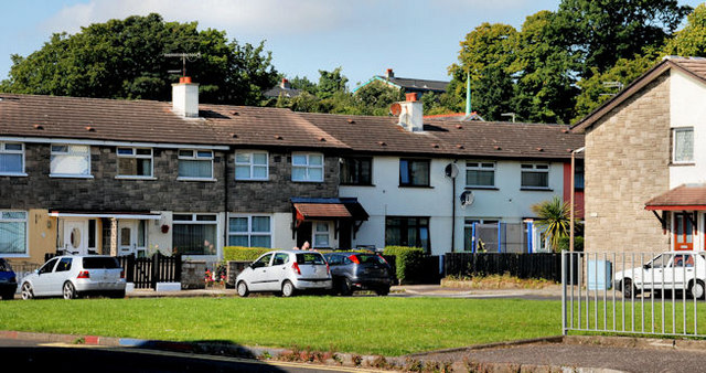
Image: © Albert Bridge Taken: 2 Sep 2010
Sometimes spelled “Davy’s” as if there had once been a man of that Christian name. Without the apostrophe it might refer to a local family, in the Victorian era, with the surname “Davys”. The houses in the photo are around a square off the street but have the postal address of Davys Street.
Images are licensed for reuse under creativecommons.org/licenses/by-sa/2.0
Image Location
Latitude
54.714052
Longitude
-5.81332