Fields near Craigantlet
Introduction
The photograph on this page of Fields near Craigantlet by Rossographer as part of the Geograph project.
The Geograph project started in 2005 with the aim of publishing, organising and preserving representative images for every square kilometre of Great Britain, Ireland and the Isle of Man.

There are currently over 7.5m images from over 14,400 individuals and you can help contribute to the project by visiting https://www.geograph.org.uk
Fields near Craigantlet
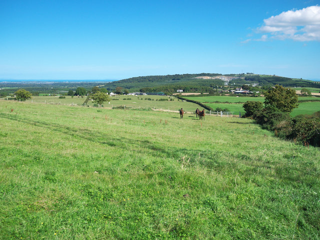
Image: © Rossographer Taken: 30 Aug 2010
Fields on a hill between Ballykeel and Craigantlet. The view is towards Cairngaver - the wooded hill and quarry in the distance, see Image There are also fantastic views out over north County Down and towards the Scottish coastline.
Images are licensed for reuse under creativecommons.org/licenses/by-sa/2.0
Image Location
Latitude
54.622276
Longitude
-5.791459