Footpath junction
Introduction
The photograph on this page of Footpath junction by Michael Dibb as part of the Geograph project.
The Geograph project started in 2005 with the aim of publishing, organising and preserving representative images for every square kilometre of Great Britain, Ireland and the Isle of Man.

There are currently over 7.5m images from over 14,400 individuals and you can help contribute to the project by visiting https://www.geograph.org.uk
Footpath junction
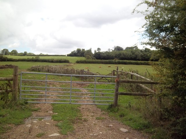
Image: © Michael Dibb Taken: 24 Aug 2010
The OS map shows a footpath leaving the track at this point. There is no indication and no trace of the path, which leads nowhere, ending at the parish boundary. The woodland to the right is known as Forty Copse.
Images are licensed for reuse under creativecommons.org/licenses/by-sa/2.0
Image Location
Latitude
51.880222
Longitude
-1.724224