View of the Oval Cricket Ground from Altitude 360
Introduction
The photograph on this page of View of the Oval Cricket Ground from Altitude 360 by Robert Lamb as part of the Geograph project.
The Geograph project started in 2005 with the aim of publishing, organising and preserving representative images for every square kilometre of Great Britain, Ireland and the Isle of Man.

There are currently over 7.5m images from over 14,400 individuals and you can help contribute to the project by visiting https://www.geograph.org.uk
View of the Oval Cricket Ground from Altitude 360
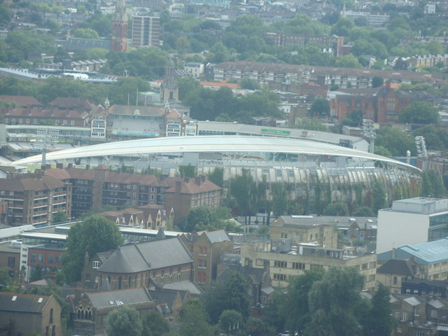
Image: © Robert Lamb Taken: 29 Aug 2010
Taken whilst attending a London Photo Walk, this is a view of the Oval Cricket Ground taken from the viewing gallery of Altitude 360 on the top floor of the Millbank Tower looking south-southeast. I have located the subject grid reference at St Peter's Church (in the foreground in the photo) as it is in the camera square, whilst the cricket ground is in Image, and satisfies Geograph's "one-square" rule.
Images are licensed for reuse under creativecommons.org/licenses/by-sa/2.0
Image Location
Latitude
51.486571
Longitude
-0.118697