Combs Reservoir
Introduction
The photograph on this page of Combs Reservoir by Peter Barr as part of the Geograph project.
The Geograph project started in 2005 with the aim of publishing, organising and preserving representative images for every square kilometre of Great Britain, Ireland and the Isle of Man.

There are currently over 7.5m images from over 14,400 individuals and you can help contribute to the project by visiting https://www.geograph.org.uk
Combs Reservoir
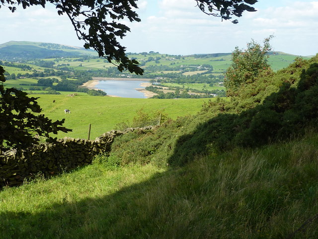
Image: © Peter Barr Taken: 31 Aug 2010
Quite low water level, as can be seen from the sandy shoreline.
Images are licensed for reuse under creativecommons.org/licenses/by-sa/2.0
Image Location
Latitude
53.305227
Longitude
-1.933932