Oozells Street Loop, Birmingham
Introduction
The photograph on this page of Oozells Street Loop, Birmingham by Roger D Kidd as part of the Geograph project.
The Geograph project started in 2005 with the aim of publishing, organising and preserving representative images for every square kilometre of Great Britain, Ireland and the Isle of Man.

There are currently over 7.5m images from over 14,400 individuals and you can help contribute to the project by visiting https://www.geograph.org.uk
Oozells Street Loop, Birmingham
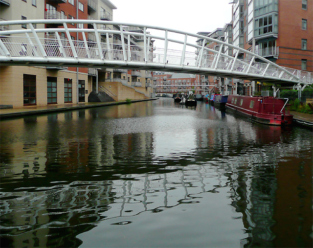
Image: © Roger D Kidd Taken: 26 Aug 2010
Birmingham Canal Navigations. James Brindley’s original 1769 canal was a "contour canal" which looped around the contours to avoid gradients. In 1824 Thomas Telford straightened the canal using aqueducts across valleys and cuttings through higher land reducing the length considerably. His new Birmingham Main Line opened in 1829 and was 5 miles and 5 hours shorter than the original route. The Oozells Street Loop is one of the remaining loops of Brindley's Old Main Line and has seen much impressive regeneration in the last twenty years.. Wikipedia article: http://en.wikipedia.org/wiki/Birmingham_Canal_Navigations
Images are licensed for reuse under creativecommons.org/licenses/by-sa/2.0
Image Location
Latitude
52.477651
Longitude
-1.917918